Uncovering the Past and Envisioning the Future

Design Concepts has teamed with Muller Engineering to reshape and revitalize the North Dry Gulch Watershed in Lakewood, CO. Begun in 2010, this drainage project along historic Colfax Avenue will bring to light and redevelop a dry creek that has been buried under the city streets and buildings for decades.

The rich history of West Colfax predates the 1850s, when it was a trade route for the Ute Indians. By the 1900s this thoroughfare served as the main connector between Denver and the agricultural communities of Morrison and Golden. The constant bustle of hay wagons and peddlers evolved into trolley lines and bicycle lanes as Denver and the West developed and grew.

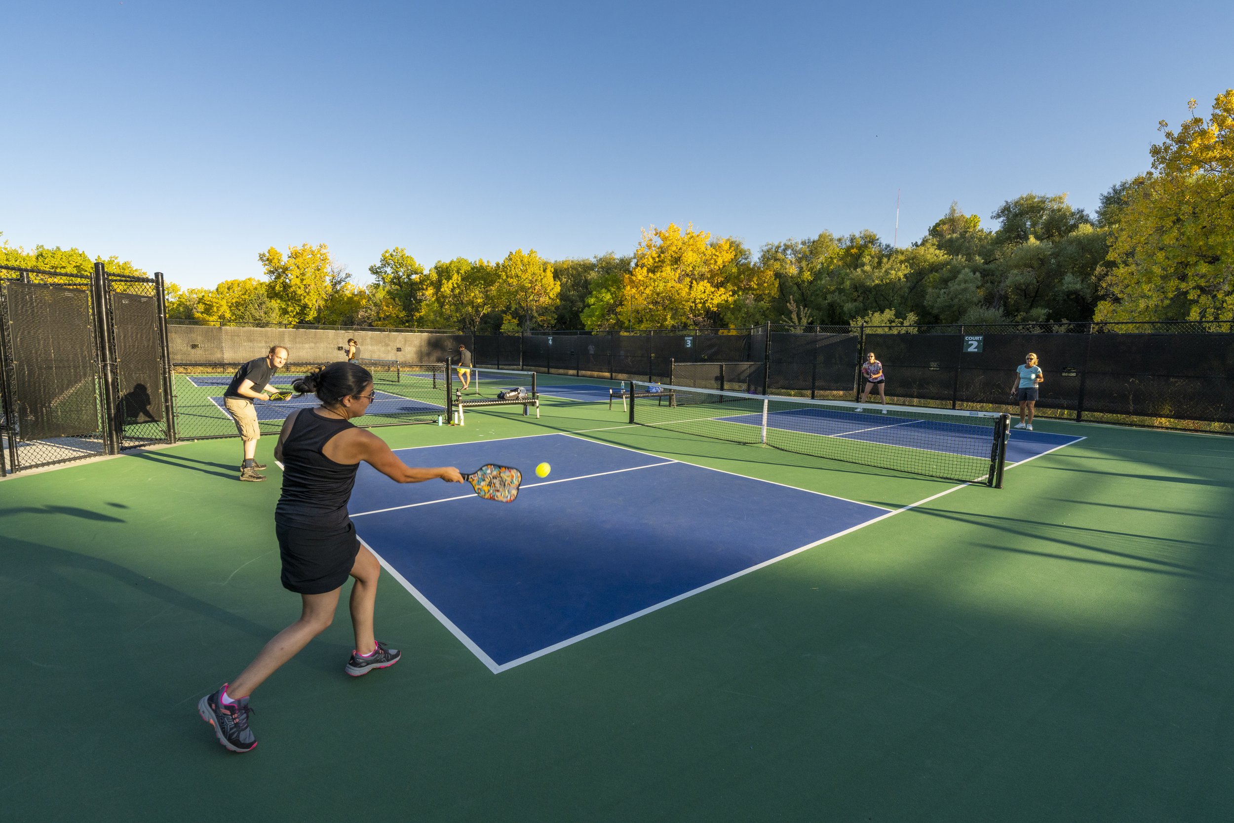
Now the North Dry Gulch outfall project is intended to correct long-standing drainage issues along this urban corridor. This ambitious project opens the door to create a new and vital environment. Improvements to mitigate flood risk, as well as improve multimodal connectivity and access to new public spaces, will allow for exciting opportunities for public use. Future investment on and around the legendary Colfax highway will follow. Rich in history and lore in the Denver region, Colfax is a prominent, highly developed commercial and residential area. This new drainage channel and public use corridor will add both recreation and commercial access while serving as critical flood control infrastructure.

The multi-disciplinary project is led by the City of Lakewood and Urban Drainage and Flood Control District, with highly experienced waterway consulting by Muller Engineering. Design Concepts has been involved as recreation and multimodal transportation planners since the initial stages of the North Dry Gulch project. Lakewood and the Denver metro community envision a modern and inviting future for this important piece of infrastructure, a regional asset for both function and fun. This seasoned team of experts is on task to create just that.

Living the Brand and Wearing the Yellow Jersey

Design Concepts is a firm wholeheartedly committed to boosting every idea and vision that supports healthy living.  We’re staunch advocates in design that promotes healthy communities.  Our people, culture, and body of work support these claims and back our mission.  Ultimately, our brand reflects a heightened commitment and awareness of healthy communities.

Therefore, it was a PERFECT fit when Design Concepts signed up for Boulder’s inaugural Winter Bike Week challenge. Not only did we participate, but we took #1 in the 7-19 staff size group.  There was a lot of internal cheerleading from team leader Bill Gotthelf, along with a bit of fun-hearted cajoling to get our team into the #1 spot.

Bill rented a ‘Blue Philly Fat Bike’ from nearby Foxtrot Wheel & Edge for the team to share and kept it conveniently available next to the front door.  Team members grabbed it for a spin for a bit of fresh air, a break from the office and to support the team cause.

 “[blankety-blank-blank-blank] is so far ahead they must be doping!”…“with a couple more riders, we can pass the other two!”…“just logged a ride and bumped us to 4th…for now.”
—Team Design Concepts

The challenge was held during the week of January 25th – 29th.  The City of Boulder, Boulder Valley School District, Boulder County, and the University of Colorado Boulder partnered to host the event.  A total of 929 participants from 178 organizations made 3,519 trips, which totaled 23,923 miles logged during Winter Bike Week in Boulder.

In the end, we had a blast! Being outdoors, embracing healthy living, and supporting advocates in our healthy communities clearly reflects who we are as a firm; just as a brand should.  Design Concepts ‘walks the talk’ and ‘lives our brand!’

Check out our Pinterest board for more info and resources. 

Spatial Relationships via Mapping the World

Geographic Information System (GIS) technology is a powerful tool for mapping our world and understanding spatial relationships.  GIS applications allow users to create a digital model of the real world that may be used to answer real world questions.  Used in a wide range of industries and disciplines, GIS is a valuable analysis and planning tool for park and recreation professionals.

Why GIS?

GIS analysis provides more robust evidence for action than traditional master planning techniques.  GIS yields decisions based on customizable factors specific to an agency or community.  GIS datasets are used to identify gaps and allow service providers to prioritize improvements based on evidence-based decisions.  An excellent resource to learn more about GIS basics can be found at ‘Introduction to Geographic Information Systems,’ by Robert Rose, GIS Instructor at Harvard Map Collection.

Case Study Examples Presented at Colorado Parks and Recreation Association (CPRA)

In-House GIS technology experts Dave and Carter, from our specialized planning team, presented a session at the CPRA Annual Conference in Breckenridge focused on their groundbreaking GIS analysis work in Stafford County, Virginia.  Arc News published an article about the project called ‘Ball Field Study Hits Home Run’ which can be found at www.esri.com

Design Concepts Blends Research with Practice in New Cooperative Extension Publication

If keeping people physically active is good for the overall health of the community, it makes sense to consider just how much activity is associated with various types of park improvements. And given that park improvements require an investment of public tax dollars, it also makes sense to know how much those activity-generating park features cost to provide. A new publication from NC Cooperative Extension Resources does all of this for a variety of typical park facilities. For example, using the guide, planners can compare the size requirements (i.e., land area needed), energy expenditure, and construction costs associated with a football field to those for a tennis or volleyball court. Information on annual maintenance costs is also provided.

Collaborating with scholars from North Carolina State University, Design Concepts Principals Robby Layton and Carol Henry contributed to this document that blends evidence-based research with real-world practical experience, offering guidance to planners, policymakers, and others involved in providing parks and promoting public health. The publication, titled Cost Analysis for Improving Park Facilities to Promote Park-Based Physical Activity can be found at: http://content.ces.ncsu.edu/cost-analysis-for-improving-park-facilities-to-promote-park-based-physical-activity

Dave and Carter "Knock It Out Of The Park" at CPRA

Dave Peterson | Associate | Dir. of Specialized Planning

Dave Peterson | Associate | Dir. of Specialized Planning

Dave Peterson, PLA, Director of Specialized Planning and Carter Marshall, Project Manager, will be presenting Knock It Out of the Park! Using GIS Technology to Meet Your Goaaaaaallls!!! at Colorado Parks and Recreation Association’s annual conference in Breckenridge on October 15th.

Currently there are no nationally accepted standards for measuring quality or public access to athletic field facilities.  In Stafford County, VA, we recently helped this public agency use advanced GIS technology to map sports field locations and analyze quality of facilities and public access.  The session is designed to address:

Carter Marshall | Landscape Designer/Planner

Carter Marshall | Landscape Designer/Planner

  • How to use GIS technology to inform future recreation planning for individual agencies

  • Tools and concepts to assist agencies in planning and assessment of recreation assets such as sports fields

  • Identifying necessary requirements for an agency to develop GIS proficiency and begin to leverage this powerful technology